


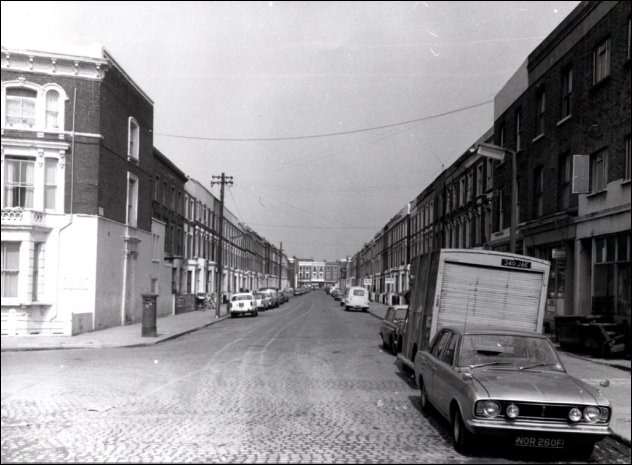
St Ervans Road in 1970, looking towards Golborne Road.
How times change...
People who have lived in Golborne long-term know how much the area has physically transformed over the years and decades. Here are some photos that show how drastic those changes have been on just one street - St Ervans Road.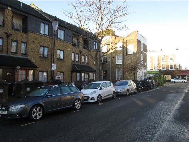
Here's a picture of what this corner of St Ervans Road and Golborne Road looks like today.
And here it is in 1970, before slum clearance swept away all these Victorian houses. The modern homes we see today were built in the mid-1980s.

Here is the other corner of St Ervans Road and Golborne Road, as it appears today.

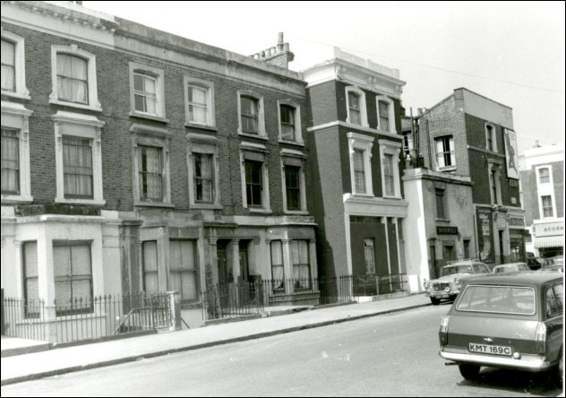
And here it is in 1970, looking rather different and with a half-built Trellick Tower in the background.

Here's a general view of St Ervans today, with cat.
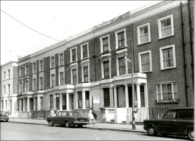
And here's another view from 1970, with no cat. The irony is that if these homes had survived the 1970s to be gentrified, they'd each be worth in the millions today.
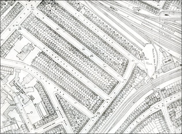
And finally here's a map of St Ervans and what the street scene looked like before the slum clearance - and before the Westway flyover was built.
Many thanks to Dave Walker of the Kensington and Chelsea Local Studies Department at Kensington Central Library. This piece draws on an entry from the blog that Dave writes, The Library Time Machine.
Kensington and Chelsea Local Studies
First Floor, Kensington Central Library 12 Phillimore Walk, London W8 7RX.